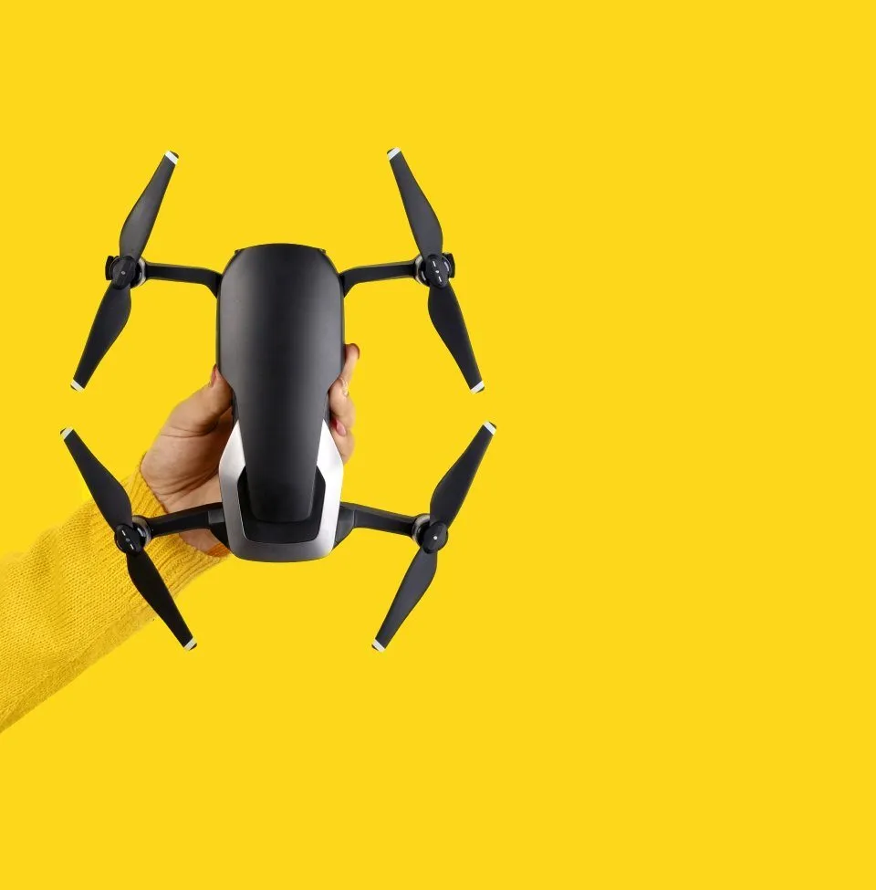
This innovative approach to traffic data collection offers numerous advantages over traditional methods. Drones equipped with high-resolution cameras and specialized software can be deployed swiftly to capture comprehensive data on vehicle movements at intersections and junctions across the country. They can show the dynamics of how a junction or multiple junctions work, and can pick up invaluable queue data that cannot be disputed.
At Kestrel Surveys we believe in using the right tool for the job. We can monitor traffic flow using a variety of methods, including drones, fixed cameras or fully trained operatives who can manually count on site. If you’d like examples of how the data is presented please email us.
Whether it be on street parking behaviours, safer schools schemes or retail units, we can conduct parking surveys to understand parking habits and issues in your selected area. We can use drones, CCTV or manual counts to collate the data. We believe in using the right tool for the job. These surveys can highlight duration of stay, numbers, problem areas and abuse of parking regulations. Lambeth Methodology Surveys can help assist with planning applications and record street stress percentages.
We can conduct speed surveys using a speed gun that complies with CA185 standards. Useful if an ATC is not appropriate.
An ATC is a quick and effective way of collecting data over a period of time, usually 7 days. We can install Metrocount counters and pneumatic tubes to a number of roads. All data is analysed and presented in a format suitable for your needs, usually excel or graphs. In some circumstances licences are needed and we can apply for these also.
We use drones to look at networks and the delays that are caused. The ability to use drones to capture this data is invaluable. We are able to fly at a height of 120m and can capture queuing traffic for many miles.
Want to see quickly where you’re losing heat from your building? We use thermal cameras to measure heat loss. We show thermal bridging, water ingress, missing insulation, damp and much more.
Using drones we can quickly, and efficiently provide an aerial inspection of your home or commercial property. We can deliver external photos, which can identify any issues or problems before they become an expensive issue to solve.
Using a gas detection module that attached to a drone we can Detect up to nine substances at once and generate spatial distribution models to identify sources, concentrations and transportation of air pollution.
If you have a project and require a speedy quotation, please contact us.
"*" indicates required fields