Do you have a project you wish to discuss?
Send us your requirements for a speedy quotation.

Contact Us
"*" indicates required fields

Requirement
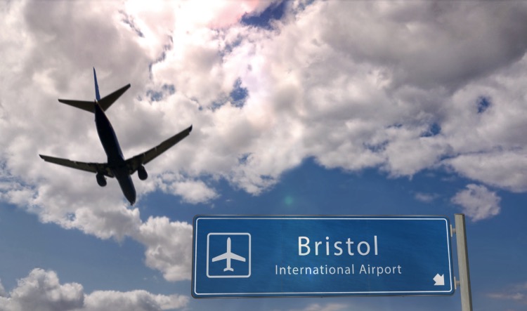
North Somerset Council wanted to understand the scale of illegal parking operations surrounding Bristol Airport during the busy summer season. With increasing demand for low-cost airport parking, unauthorised car parks had begun appearing on private land, often without planning permission and, in some cases, accommodating hundreds of vehicles at a time.
The council needed an accurate picture of where these sites were, how many vehicles they contained, and which should be prioritised for enforcement action. Previous helicopter surveys had proved expensive and lacked the level of detail required, while surveying such a large area on the ground would have been time-consuming, costly and difficult to coordinate. The project also had to be carried out safely within Bristol Airport’s flight restriction zone.
Solution
Working on behalf of North Somerset Council, Kestrel Surveys used drone technology to capture high-resolution imagery of more than 100 sites surrounding the airport in a single day. Operating alongside a planning officer with detailed local knowledge, the team worked efficiently across the area, obtaining the necessary permissions to fly safely within the airport’s restricted airspace.
The drone surveys captured clear evidence of parking activity, from small fields containing a handful of vehicles to large-scale operations accommodating hundreds of cars. The imagery also identified unauthorised changes to the land, including newly created access roads and parking areas, providing planning officers with the evidence needed to assess each site. The survey established a clear baseline, allowing future surveys to monitor changes over time and support ongoing enforcement activity.
Outcome
The project delivered a detailed snapshot of illegal parking activity during one of the airport’s busiest periods, giving North Somerset Council the evidence needed to prioritise enforcement against the largest unauthorised sites. Rather than investigating every location equally, officers could focus resources where they would have the greatest impact.
The survey also demonstrated the advantages of drone technology over traditional aerial methods. More than 100 locations were captured in a single day, providing clearer, more targeted data at a fraction of the cost of helicopter surveys.
We’re proud to have supported North Somerset Council on a project that shows how innovative surveying techniques can help solve complex planning challenges, providing reliable evidence that leads to better decision-making.
If you’re looking for an efficient way to capture accurate, actionable survey data, get in touch with Kestrel Surveys today.
Send us your requirements for a speedy quotation.
"*" indicates required fields
Want to discuss something more specific? Contact us, and we will be more than happy to help you.
"*" indicates required fields

Requirement A major football venue, working with a transport consultancy, needed to understand car park operations across a very large ar...

By Stacey Dix, Founder of Kestrel Surveys Taking flight After nearly a decade in traffic surveying, I saw an opportunity to enhance
In the United Kingdom, the process of planning and development can be a contentious affair. From disputes over land use to concerns